Welcome
Photographing the River Aire and it's journey through Yorkshire to the east coast is filling my life at the moment.
It is to support The Aire Rivers Trust's Roots in the River project and the aim is to talk about Aire Miles to the public. Get in touch for a presentation between 20 and 60 minutes.
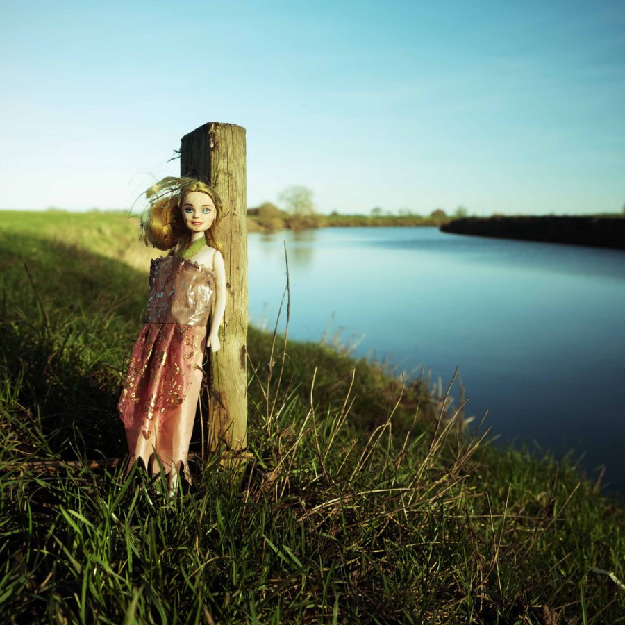
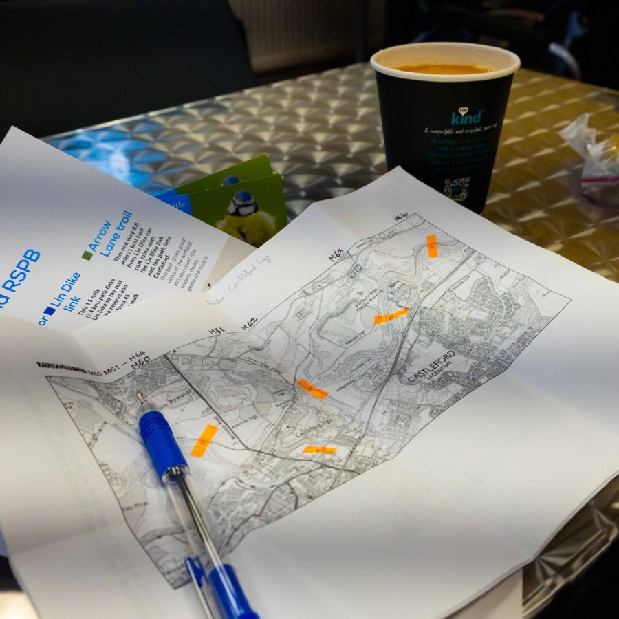
I'm walking it from Source (whatever that is - it's contentious!) to Mouth and taking a photo at every mile to document how the landscape changes around the river and some issues along the way. It's been a great experience so far.
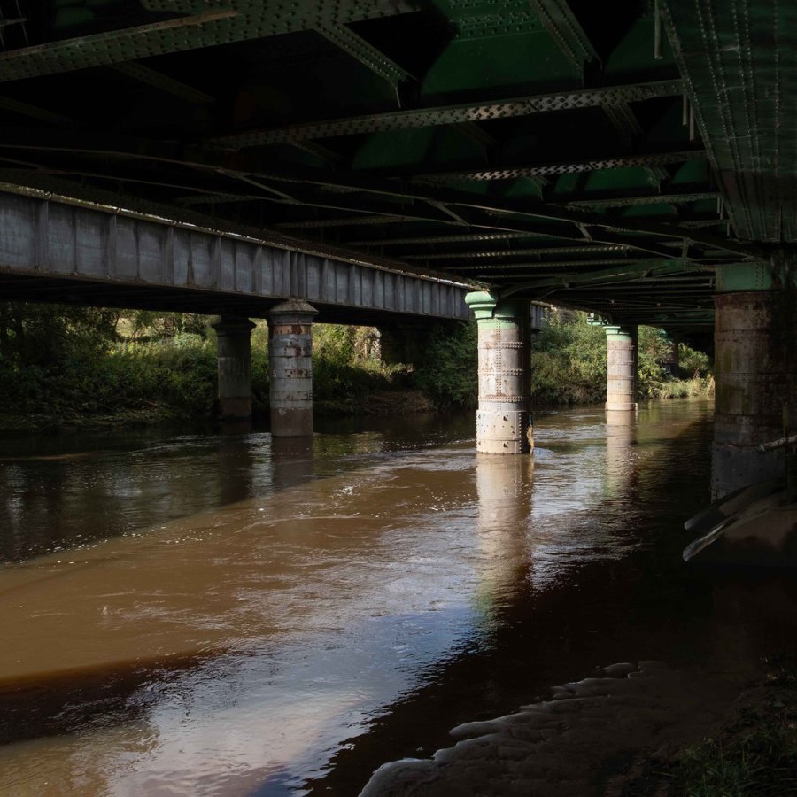
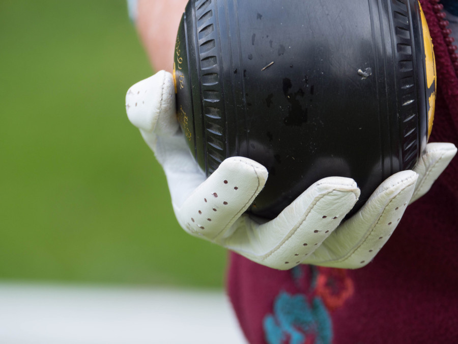
Some of the Aire Miles, I visit several times and here is goings on at Kildwick Bridge which I visited three times. The last time was on my way home from visiting further up the valley and I hung about on the bridge for enough time for local people to ask me if I was alright. I feel privileged to see these amazng colours and textures and be able to photograph them.
Two Projects
I have two projects on-going right now.
Aire Miles is to photograph the River Aire at mile intervals from source to sea. It is mainly on foot and will take the full cycle of seasons over one year. It begins at the furthest point from the river's mouth at Airmyn. This on 1st May this year was a muddy pool on the edge of Malham Tarn. I will reach the mouth at Airmyn in about a years time. I'm looking forward to exploring and meeting people along the way.
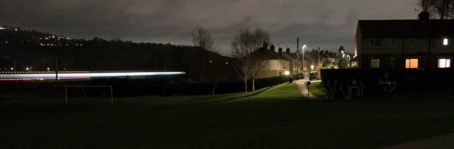
After Dark is a continuation of Shipley After Dark and is more opportunistic. It is a winter speciality as it's about once the sun goes down so is in some ways easier in the winter months. I also love dressing up in layers and woolly hats: yes - it's a winter project mainly.
This site contains galleries of projects past and current.
Have a look round and I hope you enjoy the photos.
More information:
A Blog where there is a narrative to accompany the Aire Miles photographs
The Aire Rivers Trust website where this project and others are detailed
Latest
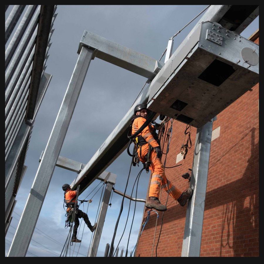
24th March 2026 A team repairing a gantry at. one of the drain entrances to the river.
11th March 2026 Heading towards Gowdall in low water, the Drax train splits the landscape with a dash of colour.
6th March 2026 This is Heck Igs and the railway bridge in the distance carries the line from the outside World into Drax Power Station.

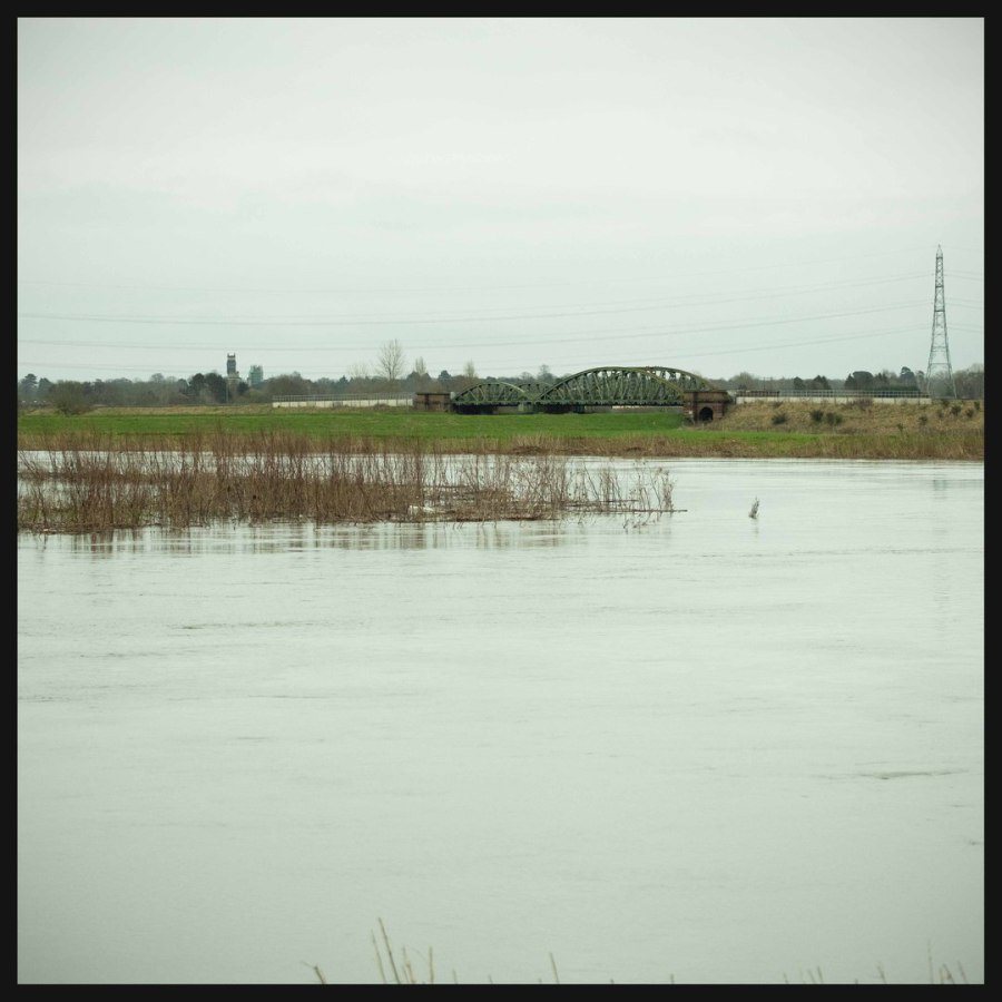
25th February 2026 Tidal now, the Aire estuary, swollen by rain and a high tide, flows through a landscape whose traditional buildings are accented by power infratructure for the region.